
Whitehall Township Neighbors by Block Records
Public systems can explain the parcels around a Whitehall Township address, but they are not a household roster. The most dependable first layer is the county map and assessment card. A deed, plat, or legal description adds transfer and lot context. Formal voter lists are controlled by election rules, and community groups only supply public information they choose to publish. Each route has a distinct scope.
| Block source | What it can show | How access works |
|---|---|---|
| Parcel Viewer and ORA cards | Public parcel geometry with owner, mailing, and situs fields for selected lots | Lehigh County GIS and ORA |
| Plats, deeds, and legal descriptions | Lot, block, subdivision and transfer chronology | Recorder, historical maps, or counter research |
| Street or walking voter list | Defined administrative address and status fields | Formal election-law request and certification |
| Township civic information | Polling-place geography, public boards, and municipal contacts | Township voting information |
| Community history groups | Public events, history, and contact points | Organization-published information only |
For Whitehall Township neighbors, an owner name and a mailing address are property-card fields. They may support a title or tax question, but they do not establish that every person at the site is an occupant. Treat parcel adjacency the same way: it tells which lots meet on the map, not which people know each other.
Whitehall Township Parcel Viewer Method
The county’s Parcel Viewer is the correct map layer for finding the public lots around a known property. Begin with the ORA card, then choose its Parcel Viewer path. Confirm the subject parcel outline before selecting adjoining parcels or using a small Buffer Report. Parcel lines matter more than visual building distance, especially on a corner lot, an alley, or a subdivision with irregular shapes.
- Find the subject by address, PIN, or partial assessment address, then confirm the parcel outline.
- Record the subject PIN and select only the parcels that meet the block question.
- Open a selected parcel’s public assessment card and note its owner, owner mailing address, situs, and date viewed.
- Where a boundary is unclear, compare the legal description or ask Assessment or Recorder staff about a known record.
The public viewer can display PIN, old PIN, municipality, district, ward, map, block, lot, zoning, class, school district, sale information, subdivision, owner name, and an ORA link. Its maps are reference material, not a survey-line determination.
Whitehall Township Neighbors and Buffer Reports
The parcel map’s small Buffer Report is a useful way to see nearby public parcels without assuming they form a social group. It should be used after the subject parcel has been checked, and the result should be preserved as a dated property observation. A careful note can follow a simple chain: subject PIN, adjacent PIN, public card, date viewed.
Review the Lehigh County Assessment entry point before using the map. Its connected assessment and GIS tools lead back to parcel data, which is why a result must be read as property information rather than a list of current Whitehall Township neighbors.
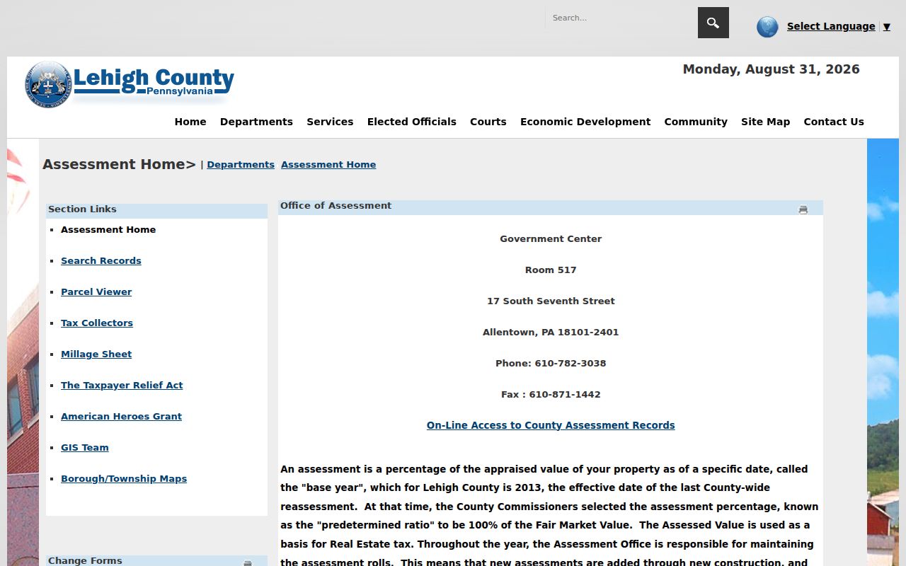
Use parcel boundaries rather than a visual guess about which building is close. The map does not prove an unrecorded boundary, determine a survey line, or identify a household.
Note: Save only the public parcel identifiers needed to revisit a dated assessment card or known deed record.
Whitehall Township Owner and Occupant Differences
The ORA property card separates Owner Name, Owner Address, and Property Address. That distinction is the key to a responsible block search. The property address is the situs, while an owner address can be a tax mailing address somewhere else. A titled owner is not automatically a current resident, and a property card cannot name every person who stays at the address.
Sales History can connect a card to a document ID or older book and page reference. From there, the Recorder’s Landex route can test a party name and legal description. A recorded transfer speaks to a property relationship, not everyday presence. For a full address-by-address records sequence along one road, use the Whitehall Township street directory route.
Whitehall Township Voter Street List Rules
Pennsylvania’s online voter service is designed to verify an individual’s registration status. It is not a public block-browsing tool. Street, walking, public-information, and full voter-export lists have a separate statutory route through the Department of State or Lehigh County Voter Registration. The request process requires identification, list selection, and a written certification about permitted use.
A street list can contain name, residential address, mailing address, party, and active or inactive status. A walking list omits the mailing address. Neither list reveals ballot selections, and state rules bar internet publication of the data. The public polling-place list gives Whitehall Township civic geography, not names of voters.
Whitehall Township Community Contact Points
No official source reviewed identified a township-wide directory of neighborhood associations, contact rosters, or block-watch lists. That absence matters. A named development may have an association, but the appropriate route is its recorded subdivision material, municipal code, or Planning staff, not an invented public roster. The township’s public boards and local organizations are useful community contact layers without becoming resident lists.
| Whitehall Historical Preservation Society | Public history, events, and a genealogy library at Peter Grim House; no member roster was verified |
|---|---|
| Township boards and commissions | Public volunteer and civic contact routes, not private neighborhood directories |
| Parks and recreation areas | Public service and event geography, not proof of a household’s neighborhood membership |
| Houses of worship and civic groups | Use an organization’s own public contact channel only; no congregational roster was verified |
The township identifies eight village neighborhoods, public events, parks, and numerous houses of worship. Those are practical ways to find a community contact, but they should not be used to infer a private person’s address or participation.
Historic Clues for Whitehall Township Neighbors
A block can have a historical map layer even when present-day neighbor information is private. The Lehigh County Historical Society holds Sanborn maps for Egypt and Cementon dated 1885 through 1927, along with tax, land, will, directory, and map collections. Those sources can test an older lot, street form, or building footprint when paired with a deed or directory.
Whitehall’s village names are essential search terms. Cementon, Egypt, Fullerton, Hokendauqua, Mickleys, Stiles, and West Catasauqua may appear in a map or directory instead of the current township label. A historic neighborhood lead needs a date and a supporting property or directory record before it can be connected to a modern parcel.
See the Whitehall Historical Preservation Society public presence below. It is a place to learn local history and event information, not a source for a current member list.
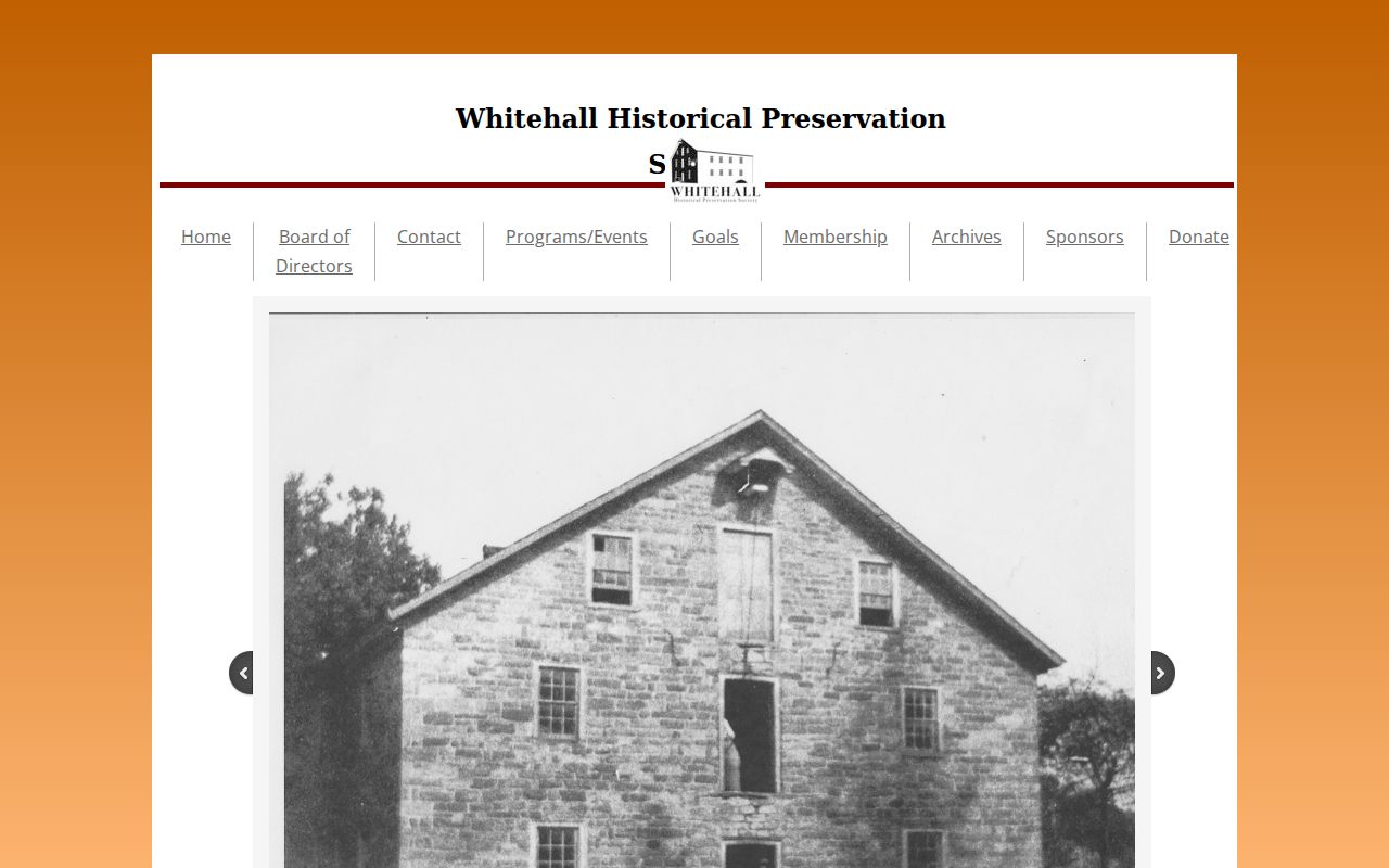
Its public history material can add local context to a parcel trail without turning a historic place into an identity claim about present neighbors.
Comparing Whitehall Township Neighbor Sources
Official records and commercial neighborhood compilations serve different purposes. The county map and property card identify their source, date, parcel fields, and custodian. A commercial category may combine old address fragments without showing when a record changed or whether two names belong to the same person. That makes the county source more useful for a specific parcel question.
| Official block records | Commercial compilation category |
|---|---|
| Shows the recorded parcel, map relationship, and dated assessment fields | May merge address fragments from unknown dates and sources |
| Points to County Assessment, GIS, Recorder, or an election custodian | Cannot correct the official record underneath an error |
| Has defined access and privacy boundaries | Does not remove those legal limits |
Mapping a Whitehall Township Neighbor Block
Map the block as a set of land records. Identify the subject parcel, capture its PIN and legal cues, then use only the surrounding parcel geometry that the viewer shows. Follow an adjacent PIN to its public card. If an address changed, a subdivision split, or a corner makes the shape unclear, test the legal description, historic map, or Recorder document rather than stretching the map image into a conclusion.
That workflow gives a clean chain from a known address to surrounding public parcels. It is narrower than a street search and more defensible than guessing from an aerial view. It also separates a public land-record question from an attempt to identify everyone connected with a block.
When a parcel trail needs historical context, compare a dated map, tax roll, or directory with the old parcel ID and legal description. A township village label can change between a historical source and a current assessment card. That is why a modern mailing label should not be pushed backward without a document or map that joins the two forms.
Whitehall Township Neighbor Lookup Limits
Protected addresses, motor-vehicle information, utility accounts, delivery records, restricted court material, and eligibility-controlled vital records do not become public because they would help complete a block list. Pennsylvania’s Address Confidentiality Program can substitute an address for eligible participants. A redaction or missing record is not an error to overcome through another source.
Lawful use. Use Whitehall Township neighbor information for a personal, lawful purpose, never to watch, stalk, harass, intimidate, or harm another person.
Pennsylvania stalking and harassment laws apply when information is used to repeatedly contact, follow, threaten, intimidate, or cause distress. Stop where the record is protected, and ask the real custodian about a lawful access route when one exists.