
Whitehall Township ZIP Code Coverage
The official Township contacts, municipal forms, library, police, and public polling-place materials consistently use Whitehall, PA 18052. That makes 18052 the only ZIP positively verified as serving Whitehall Township in the official sources reviewed. It is a delivery designation, not a legal outline of the Township. The municipal source set did not provide a ZIP-boundary map or a verified list of secondary delivery ZIPs. Do not add a nearby number merely because a border locality or village name sounds connected to Whitehall.
| ZIP | Documented local coverage | Post office or verification | Directory research note |
|---|---|---|---|
| 18052 | Official Township address convention for the municipal building, police, library, and public polling locations | Whitehall post-office contact; verify each delivery address with USPS | Only ZIP confirmed by the official Township sources reviewed; it is not a municipal boundary |
| Other border or nearby ZIPs | Not verified as Township-serving in the official material reviewed | Use USPS address lookup and County GIS for the exact location | Do not enumerate a ZIP until address-level evidence supports it |
The Township has eight named village neighborhoods, including Cementon, Egypt, Fullerton, Hokendauqua, Mickleys, Stiles, and West Catasauqua. Those names are useful record-search terms, but no official source reviewed turns them into separate ZIP areas. A village label in a directory or newspaper can differ from the current Whitehall mailing label. A ZIP code directory should report that limit instead of filling gaps with nearby numbers.
Note: Postal routing, a township boundary, and a parcel boundary are separate systems that should be checked independently.
Whitehall Township ZIP USPS Check
Use the Postal Service lookup with the street number, directional prefix, street name, suffix, city, and state for the actual delivery address. This is the most reliable way to validate a Whitehall Township postal designation before opening a county record. The result answers a postal-routing question. It does not confirm that the address lies in the Township, belongs to a particular tax authority, or appears in every historical source under the same locality.
The USPS postal lookup is the official source shown in this postal-research image.
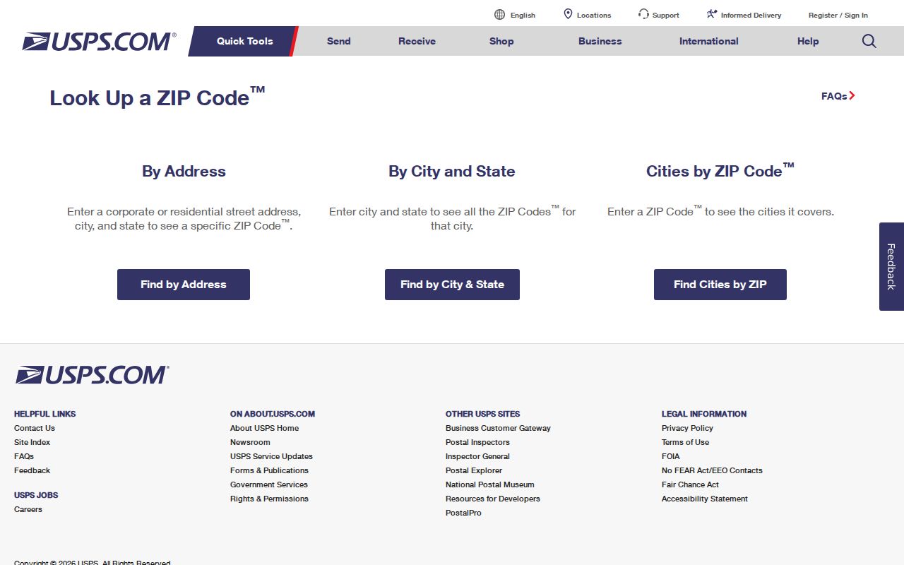
For a local postal contact, the Township lists the Whitehall post office at 610-264-5514. Verify the particular delivery address even when it uses the familiar Whitehall, PA 18052 convention.
Whitehall Township ZIP Search Limits
Lehigh County Online Records Access, usually called ORA, does not offer a postal filter or an owner-name search type. Its verified public Search Type choices are Address, Parcel Identification (PIN), and Document ID or Instrument Number. The related Parcel Viewer accepts an address, place, PIN, or partial assessment address in its basic search, but not a configured owner-name or ZIP basic search. A ZIP cannot therefore be used to generate a countywide household list through either public tool.
| ORA or Viewer control | Input type | ZIP accepted? | Whitehall Township use |
|---|---|---|---|
| ORA Search Type | Address, PIN, or Document ID/Instrument Number | No | Open a known property record after validating its address |
| ORA search text | At least four characters; address syntax or parcel/document key | No | Use a full property address or known identifier |
| Parcel Viewer map search | Address, place, PIN, or partial assessment address | No configured basic search | Confirm parcel location and map context |
| Parcel Viewer tools | Selection, query, filter, attribute table, and Buffer Report | No ZIP enumeration tool documented | Analyze a selected parcel, not a postal area as a resident roll |
ORA results distinguish Owner Name, Owner Address, and Property Address. The property address is the taxable parcel’s situs, while the owner address is a mailing field. A different mailing ZIP can reflect an office, mail preference, historical delay, or another location. It is not evidence that a person is physically present at the parcel.
Whitehall Township ZIP Research Workflow
A ZIP can narrow an address check, but it does not replace the address and parcel sequence. The safe order starts with postal validation and moves to the county’s permitted search fields. The Pennsylvania voter status service is an individual-status tool, not a public ZIP or street browser. Formal voter lists have their own statutory request, certification, and use limits, so they should not be converted into a general ZIP-based resident list.
- Enter the complete address in the USPS lookup and preserve the returned mailing ZIP.
- Search ORA by the full address or a known PIN, following the county’s directional and suffix conventions.
- Compare the resulting Property Address, Owner Address, PIN, old PIN, subdivision, tax authority, and legal-description clues.
- Use the Parcel Viewer link to confirm the assessed parcel and its municipal or map context.
- For a historical record, search the village name and street variant rather than adding a current ZIP to an old directory.
Once a postal area has been narrowed to a known address, the Whitehall Township street directory route explains the address-and-parcel trail in greater detail. It remains important not to turn property ownership information into an assumption about every person at the location.
Whitehall Township ZIP Code Boundaries
A ZIP code is a delivery route, not a township border. It cannot establish a school district, tax authority, voting district, or municipal location. For those questions, use the ORA Tax Authority and School District fields, the County Parcel Viewer, or the applicable county map. A physical address may have a postal label that is convenient for delivery while the governmental record uses a different boundary system.
- ZIP Code
- A postal delivery designation for an area or address. It does not define Whitehall Township’s legal limits.
- ZIP+4
- An added delivery detail used by USPS. It is more precise for mail routing, not a separate municipal boundary.
- PO-box ZIP
- A postal designation used for box service. It should not be treated as the physical location of the person using the box.
- Unique ZIP
- A ZIP associated with a single organization or delivery arrangement. No Whitehall Township unique ZIP was verified in the reviewed sources.
- Carrier route
- A USPS delivery grouping. It is not a parcel, court, voter, or Township boundary.
Whitehall Township ZIP Address Keys
Keep three address concepts separate when a Whitehall Township postal search leads to a property card. The situs, also called the property address, identifies the assessed land and building. The owner mailing address is where assessment or tax material is sent. A legal description identifies a subdivision, lot, block, survey boundary, dimensions, or recorded instrument. A PIN is the county assessment identifier, not a postal address.
When street numbers conflict across sources, use the legal description and historical map as the bridge. ORA also displays low and high house numbers, current and old PINs, subdivision, school and tax authority, zoning, and assessment details. Those fields help connect records without claiming that a ZIP or a mailing address resolves historical identity on its own.
Note: Preserve each address form with its source date, especially when comparing a postal label with a deed or older directory.
Whitehall Township ZIP Numbering Quirk
Whitehall’s 1968 master numbering ordinance is a practical local wrinkle for postal research. The U.S. Post Office centralized the former five village post offices and eleven delivery routes, while the Township standardized number ranges by ward. A historical directory, newspaper, deed, or map can therefore preserve a former village post-office or number form even when the street name survives. The post office changed the routing context, but it did not erase the need to compare source dates.
Chapter 163 provides the five number bands and excludes MacArthur Road. For a boundary street, it uses the lower-numbered ward and gives stated odd-even conventions for West Catasauqua. The official zoning and address map is a second cross-check, but no parcel-by-parcel historic-address crosswalk was identified. Request an official crosswalk for a specific address from Township Planning or GIS, or reconcile the record through original maps and legal descriptions.
The USPS Whitehall location detail supplies the source for the following post-office image.
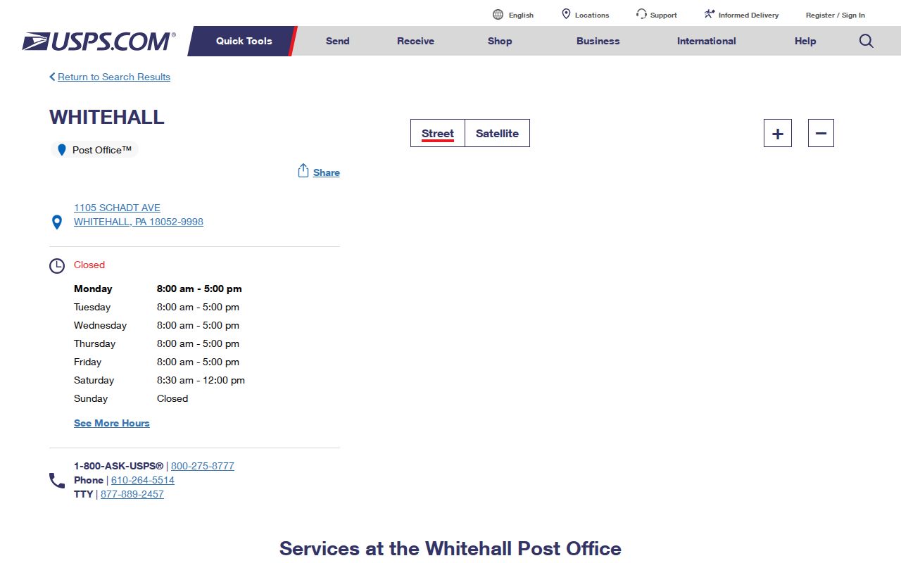
Postal information should be paired with the Township code and county parcel data when an older address must be reconciled with a current delivery label.
Whitehall Township Historic ZIP Labels
Historic directories, maps, tax material, and newspapers may predate the modern postal form or use a village instead of Whitehall Township. Search Cementon, Egypt, Fullerton, Hokendauqua, Mickleys, Stiles, and West Catasauqua beside the surname or street. LCHS holds Sanborn maps for Egypt and Cementon dated 1885 through 1927, and its Allentown city-directory collection is documented from 1860 to current. These are historical place-name routes, not ZIP-based directories.
For an early household trail, the 1860 regional Boyd’s directory, LCHS tax and mortgage records, census material, church and cemetery collections, newspaper notices, and recorder documents can supply different dated pieces. Place the historic village label beside the source date and avoid backfilling a modern ZIP into the original citation.
Whitehall Township ZIP Access Channels
When a postal lookup and public parcel search do not answer a precise question, use the custodian that holds the record. The Township Planning, Zoning & Development office can address permit and occupancy process questions, but no public address-searchable permit database was found. A targeted Right-to-Know request should identify the street address, record class, and date range. The request form permits email, mail, fax, or in-person submission, while the local instruction says requests may be mailed or dropped off.
The county recorder and Landex route are for known transfer documents and legal descriptions, with the Recorder’s current index coverage identified as 1812 to present. County staff do not conduct open-ended research. For historical address continuity, LCHS is the fallback for tax rolls, deeds, mortgages, maps, directories, and estate material. The right channel depends on the record type, not on the ZIP written on an envelope.