
Whitehall Township Previous Residents by Era
Different records carry the Whitehall Township previous residents trail for different periods. The current assessment card supplies parcel identifiers and an owner or mailing distinction. Recorded transfers move the property link backward. The historical collections then add tax, mortgage, directory, census, map, and estate evidence. A household entry is not interchangeable with a deed party, and a map is not proof of a person’s presence. Use each source for the narrow fact it can support.
| Era source | Documented span | Where to use it | Address-history value |
|---|---|---|---|
| ORA assessment card | Current assessment information | Lehigh County online | Current owner and mailing versus situs, PIN, old PIN, subdivision, and building clues. |
| Recorder and Landex index | 1812 to present | Recorder route, Landex, or counter | Transfers, party names, document references, and legal-description trail. |
| Historical deeds, surveys, and warrants | Mid-1700s through mid-1800s, partially indexed | Lehigh County Historical Society | Early land, lot, warrant, and survey connections. |
| Mortgage and tax records | Mortgages 1864 to 1901; tax rolls 1813 to 1817, 1835, and 1846 to 1890 | Lehigh County Historical Society | Property and taxpayer context between transfers. |
| Allentown directories and census | Directories 1860 to current; LCHS census 1790 to 1930 | LCHS and library routes | Dated household, address, and enumeration context where an edition covers the village. |
| Sanborn maps and municipal files | Egypt/Cementon maps 1885 to 1927; permit start date not published | LCHS and Whitehall Township | Building, block, local place-name, construction, inspection, or occupancy timing. |
Begin with ORA and the Recorder for a known property today. When the address no longer matches older sources, move to the legal description, old PIN, lot, subdivision, village label, tax trail, and map. The source dates tell you when to change tools rather than treating a missing online result as the end of the search.
Note: A dated source can support a moment in the property trail, but it should not be extended into an unbroken residence claim.
Start Whitehall Township Past Residents
A remembered street number can be a poor starting point for past residents in Whitehall Township. Search the Lehigh County ORA Property Search by Address, PIN, or Document ID/Instrument Number. The public interface requires at least four characters, a selected search type, and a captcha. It has no owner-name or ZIP search type. Save Owner Name, Owner Address, Property Address, parcel ID, Old Parcel ID, subdivision, and Sales History references.
The difference between these fields is essential. The property address is the situs, or taxed parcel location. Owner Address is a tax-mailing field and may be somewhere else. The current owner is a deed and assessment lead, not a statement that the owner lived at the property. Sales History gives the reference that begins the document chain.
Trace Whitehall Township Previous Residents Through Deeds
A deed chain follows property transfers, not every former occupant. Begin from the current assessment card and use its document ID or book and page reference in the Recorder route. Lehigh County’s Recorder reports 1812 to present coverage. Its Landex index is free to search, while images and copies have payment terms. At each transfer, the legal description and date sequence matter more than a shared surname or a familiar street number.
- Use the ORA card to record the current owner spelling, PIN and old PIN, subdivision, lot dimensions, legal-description clues, and the sale reference.
- Open the Landex document search. Search a recent reference by Instrument Number and an older reference by Book and Page when ORA supplies those values.
- Capture the document type, date recorded, matching names, municipality, pages, and available reference data. Then confirm the legal description in the document trail.
- Treat the seller in the latest transfer as a candidate for the prior link. Search that party as a grantee and repeat only when the legal description matches.
- When parcel mapping breaks down, use old PINs, lots, subdivision descriptions, plats, surveys, tax rolls, mortgages, and LCHS land collections rather than forcing a modern street number backward.
- Grantor and grantee
- The grantor transfers an interest in property. The grantee receives it. A name can appear in several transactions, so identify the parcel too.
- Chain of title
- The ordered series of recorded transfers for the same property. It must be tested through the description and dates, not merely by a sequence of names.
- Legal description
- The lot, subdivision, boundary, or other land wording used in records. It often survives address-number changes better than a street label.
- Instrument number
- A Recorder reference for one recorded document. ORA Sales History may supply it for a modern transfer.
The courthouse counter can explain coverage, a known instrument, copy procedures, or index volumes. Recorder staff do not perform open-ended research, so bring the strongest identifying reference available.
Whitehall Township Deed Records Trail
The Landex result screen lists Matching Names, Type, Date Recorded, Municipality, Instrument Number, Pages, Price, and Cart. Its name route uses county, company or last name, first name, date range, and document type. Other tabs use an instrument number or book and page. The index is a strong trail for previous residents only when it is tied back to the correct parcel and legal description.
For older Whitehall Township transfers, the research notes Russell Index Books from 1812 through 1983 and major and minor subdivision plans from 1812 through 2002. Book-form records ran through April 19, 2002 and computer images began April 22, 2002, while the Recorder describes 1812 to present retained computer-image or security-microfilm coverage. A change in format is a reason to change search references, not evidence that the property vanished.
Note: A paid image or counter copy can confirm a known document, while the free index supplies the reference needed to request it.
Whitehall Township Previous Residents Before 1968
Whitehall Township’s 1968 master-numbering ordinance is a critical house-history quirk. It followed the centralization of five village post offices and eleven delivery routes. The Township established number ranges for Fullerton, West Catasauqua, Hokendauqua and Stiles, Egypt, and Cementon, while excepting MacArthur Road. A former directory, map, tax roll, or deed may retain a village or postal form that looks unlike the present address.
Build a crosswalk from the source’s original address to the ward-range clue, current parcel and old PIN, subdivision or lot, legal description, and dated map. The surviving place names are search terms: Egypt, Cementon, Fullerton, Hokendauqua, Mickleys, Stiles, and West Catasauqua. This comparison is safer than assuming the modern Whitehall address was used throughout the property’s past.
Note: The code’s range system helps flag a questionable match, but inspected sources did not provide a parcel-by-parcel historical address conversion.
Whitehall Township House History Maps
For Egypt and Cementon properties, the Lehigh County Historical Society documents Sanborn fire-insurance maps dated 1885 to 1927. They can show building footprint, street or block layout, local place name, and nearby industrial, rail, or canal features. Record the map year and sheet number. A map supplies location continuity, then a deed, tax record, directory, or newspaper supplies the separate person or property evidence.
The Lehigh County Historical Society local-records collection is a useful route for church, cemetery, and related historical context alongside the deeper land trail.
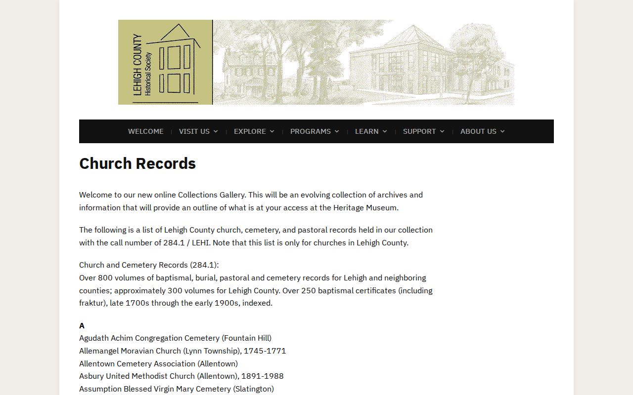
The collection route is especially useful after a modern parcel number stops matching older land descriptions.
Whitehall Township Past Residents in Directories
Ownership is only one part of a previous residents search. LCHS holds Allentown City Directories from 1860 to current, but an edition must be checked for the relevant Whitehall village. Its federal census collection runs from 1790 to 1930, and public federal release follows the 72-year rule. The 1860 Boyd regional directory is available online through Penn State. These are dated household leads, not a continuous household roster.
- Search the directory collection by surname and, where supported, by street, while trying the relevant village name and spelling variant.
- Capture the exact edition year, page, heading, address form, occupation or business context, and nearby entries instead of modernizing the wording.
- Pair each directory point with the nearest released federal census. The directory may add an address, while the census may show a household under a different enumeration geography.
- Use a Sanborn sheet, tax record, legal description, or deed to test whether the numbered location is the same property.
- Resolve a disappearance with newspapers, marriage or death announcements, church and cemetery material, probate, or an estate record, then confirm a property change through the Recorder.
The Whitehall Township Public Library collections are a local route for yearbooks, historic pictures, books, and catalog-led follow-up rather than proof of an address on their own.

For the complete local directory collection path, use the Whitehall Township city directory resource and test the edition’s village coverage.
Note: A directory’s place heading and a census enumeration area may differ, so preserve both labels when comparing one household.
Whitehall Township Archive Records Route
Whitehall Township Public Library and the regional archives serve different parts of a house-history search. The Township library offers in-library Ancestry Library Edition, Fold3, MyHeritage, yearbooks, historic pictures, and historic books. The Allentown Public Library provides documented Allentown directory microfilm from 1860 to 1980, census from 1800 to 1930, and newspaper and obituary research. LCHS holds the documented long directory run and early county land, tax, mortgage, probate, and cemetery material.
For a question that needs page-level inspection, APL offers a Book a Librarian appointment. LCHS can answer a remote request only for a named person, topic, or document in a specified collection. Its published instructions give a typical four to six week response and list fees by requester location. Confirm details with the repository before ordering a lookup or traveling.
Whitehall Township Permit Records Markers
Township permit and occupancy files can mark construction, additions, alterations, a change of use or occupancy, resale inspection, or other property events. Whitehall does not publish an online address archive for those files. The practical municipal channel is Planning, Zoning & Development or a targeted Right-to-Know request that names the street address, parcel, record type, and date span. The request can be submitted by email, mail, fax, or in person using the Township form.
Permit fields such as site address, tax parcel, lot, subdivision, zoning district, work type, and project description help make the request finite. The result may be redacted or unavailable. It is a timing marker, not automatic proof that an applicant or owner was a resident.
Whitehall Township Estate Record Endpoints
When a household or owner disappears from the local record trail, LCHS and court collections can provide a transition lead. LCHS documents mortgage records from 1864 to 1901, wills and estate microfilm from 1815 to 1916, tax rolls for several early spans, indexed marriage material, newspapers, church records, and cemetery material. An obituary or announcement can suggest a death, kinship, former locality, or estate lead, but it should be verified through the appropriate estate, will, or Recorder record.
Before 1812, a property trail may move to Northampton County because Lehigh County was formed from Northampton County in that year. That is a jurisdiction change, not evidence that a Whitehall Township property record was destroyed.
Whitehall Township House History Limits
Past-resident research works best for house history, family history, estate questions, and an accurate record trail. It cannot confirm every person who stayed at an address, and no historical entry defeats modern privacy protections.
Pennsylvania’s Address Confidentiality Program can substitute an eligible participant’s address in several public systems. Do not use public records to expose or pursue a protected person, and never treat a redaction as a reason to seek the omitted information elsewhere.
Lawful use. Use Whitehall Township previous-resident records for personal, lawful house or family history. Do not use any result to stalk, harass, threaten, or track a living person.